Drones are one of the most famous inventions of the 21st century. Almost everyone in this world now knows what drones are and how it is used. You probably think drones are remote-controlled flying machines, yes they are. But drones are used for many purposes nowadays.
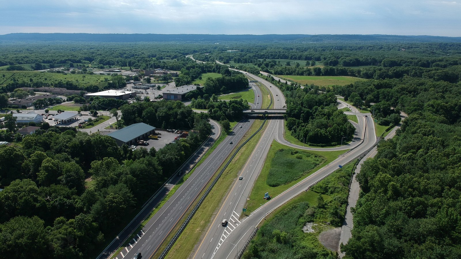
One of the primary reason drones are being used is for aerial mapping and surveying. Many sectors need to be surveyed from an aerial view because of safety, cost, time, etc. One of those sectors is the railway industry. The railway industry is adapting to drones. It saves them money and time and allows them to inspect arias that were dangerous to examine before. I will tell you how drones are changing the scenario of the railway industry.
Mapping Train Tracks
Drone mapping services are highly beneficial and useful in mapping for a new train track. It is a highly effective, accurate, and time-saving process. Traditional railway mapping was like being present on the spot, surveying the area by being present.
However, drones brought a significant change. They provide high-quality 3D images with software optimization, which will show you an accurate model of the entire rail track for a specific place as a result.
Land Mapping and Development
All the real estate companies are now using drone surveys. Using drones, you can map your land accurately with high-quality images. Real estate companies work with extensive-sized lands, which are tough to map, measure, plan.
However, drones effectively solved this problem. Some drones will measure your land, provide images of every corner, and measure the land’s altitude. Drones can help map the land. Real estate companies are using drones to divide their extensive lands, make proper plans with the ground.
Urban Planning
Now, this is important. Most people don’t know that drones can be used to plan a city. Governments, associations are using drones to capture the whole scenario of a town. When you get the entire design of a city, planning becomes a piece of cake for you.
Besides planning for the development of an area, you need to have an aerial view of the city. 3D images help to measure the city’s buildings positions. Also, it provides an environmental view of the city, which will help you determine where the new road should be, where the mall should be placed.
Mountain Survey
There are many places in the world that you cannot reach on foot, but drones can go quickly. Drones are now surveying mountains.
People are sending drones to survey mountain trains, maps, slopes, etc. Besides, drones can help to predict the time of landslides and prevent damage to roads and houses. Mountain cyclists, climbers, also use drones to determine the trail and plan for their journey.
Final Words
Drones are being used for many solutions. The aerial survey is one of the significant ways drones solve the problem. It was way more costly and dangerous before the invention of the drone to conduct an aerial survey and plan for it. Nevertheless, drones made it easy.